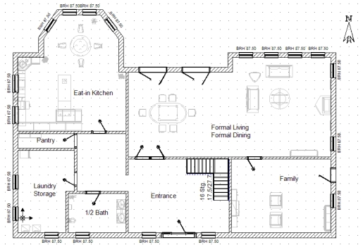
You’re in a time crunch. You’ve got to get in and out of the mall in under 30 minutes. Let’s say you need to get to the gold machine, buy some gold, and get out again. Do you know how to get around inside the mall? Do you know where you’re going, or are you going to have to stop at every in-mall map station and squint at a giant blueprint to find out where you need to go? It’s B, right? Of course it is; malls are designed to encourage confused wandering. Well, wander no more. Google Maps has started to introduce indoor maps for shopping malls and airports.
It seems like a logical next step, doesn’t it? I mean, Google already offers directions for bikers and people on foot, and there’s nowhere that needs directions as much as the mall does. Google has already started adding the maps of certain malls, like the massive Mall of America in Minnesota and other shopping malls in Illinois, Virginia, and California. Google has also added the floor plans of 18 US airports, certain Macy’s and Bloomingdales stores, and the entire chains of IKEA and Home Depot, just to name a few.
“It’s like we have taken the map that you see on a kiosk at a store or mall and put it on your phone,” said Google product management director Steve Lee.
The system works this way. If you access Google Maps via your Android-powered smartphone, the phone’s GPS uses available WiFi and 3G signals to calculate where you are on the floor plan submitted by the mall’s ownership. Then, you use that blue dot (you) to figure out where you are in relationship to the bathroom, the Orange Julius, or the Sears, thereby cutting way down on aimless wandering.
Tags: Google Maps, Google, Google to map indoor locations, mall maps, Google to add mall maps to Google Maps, indoor version of Google Maps, Android, indoor maps available on Android smartphones, Mall of America, Google maps malls, Mall of America on Google Maps, Steve Lee, Google to map malls and airports, Google Maps for Android to provide indoor maps, indoor maps, floor plans


